
Last Updated on August 18, 2025
Google has launched the Street View feature on the Google Maps service for Nepal. The US tech giant made the iconic feature available for Nepali users on the occasion of the Digital Nepal Conclave 2025.
The feature lets users from across the world virtually observe Nepal’s local streets and check on historical and culturally significant sites.

But first, let’s start with some basics.
What is Street View on Google Maps?
Street View is a popular feature on Google Maps that lets you see 360-degree street images of places. The images feel live and authentic, with street names and arrow signs that give you a feeling that you are physically there. It uses panoramic images and offers a vivid virtual replica of the physical world.
The feature is available on both Google Maps and Google Earth. But while so far, it was not available for users of Nepal, it’s finally live. So, users in Nepal and abroad can now use the Street View on Google Maps to check on places in the country.
Google Maps Street View in Nepal
The Street View found on Google Maps lets you walk around the lanes in Kathmandu. It can also take you to the southern plains (Terai) and remotely enjoy the view of the snow-filled Himalayas on your smartphone, tablet, or computer.
The feature lets users visit Nepal’s architecture, ancient temples, palaces, and get in the midst of bustling local bazaars, and feel the lively traditions and live up close.
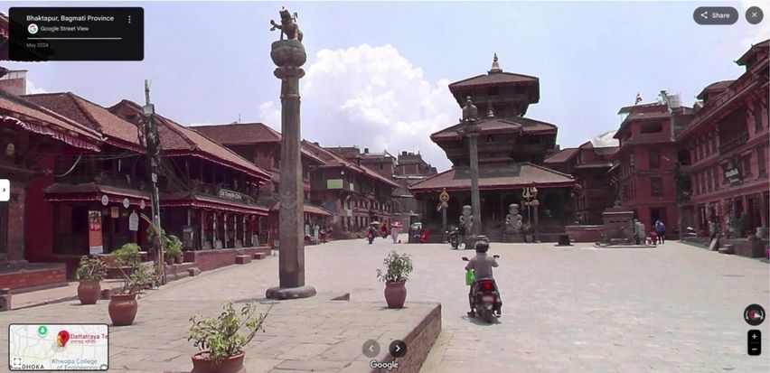
It’s expected that Street View will bring new excitement and joy for people willing to familiarize themselves with Nepal. Likewise, it shall also help in promoting tourism and play a role in raising awareness about Nepal’s cultural and historical heritages and their preservation.
How to use Street View on Google Maps
On Computer
- Go to maps.google.com
- Click on the 360° view or the Street View Pegman on the bottom right
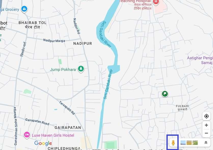
- Now, you see blue lines on maps
- Click on them to Street View the area with more details
On Smartphone
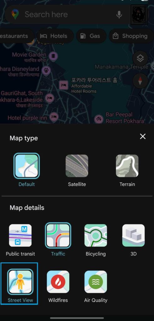
- Open the Google Maps app
- Tap on the Map Type Control option
- Choose Street View
- Now, blue lines appear representing the roads
- Tap on these lines to see the Street View on your handheld device
Do check out the feature on your device using the steps above. Don’t forget to share with us how you felt about it in our comment section below.